Understanding the layout and symbols of daily weather forecasts can help business leaders make informed decisions that keep employees and customers safe. Accurate forecasts can mitigate severe weather threats like lightning strikes, floods, and power outages.
High-impact weather forecasts are generated using complex data analysis and modeling. Oftentimes, this is done with the assistance of AI.
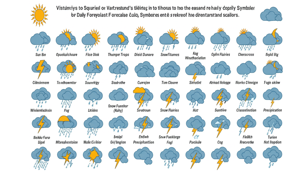
Precipitation
Precipitation is water in its liquid or frozen state that falls from the sky to Earth. It’s one of four parts of the water cycle that moves water around the planet so plants, animals and people can use it.
It all begins with evaporation, when water from the oceans, lakes and rivers evaporates into the air to become a gas called water vapor. The water vapor rises into the atmosphere, where it cools and eventually condenses into clouds. When the water droplets in a cloud are heavy enough, they fall back to Earth as rain, snow or hail.
The water vapor and precipitation cycles are important for humans, as we rely on them for clean drinking and bathing water as well as to irrigate crops for food. If it’s too warm, however, we can have problems with droughts.
To forecast the amount of rainfall, meteorologists look at a number of factors including climatology (how often it rains at that time of year in that area) and current weather patterns such as cold fronts or upper-level disturbances that could cause lift, clouds and precipitation. Using computer models, they calculate how much moisture is in the atmosphere and what types of precipitation might form.
Meteorologists also have to make assumptions about how fast the atmosphere is changing, Jeglum said. The models are like “parallel universes” that start out the same, but evolve differently based on current temperatures, wind speed and other variables. In fact, a 30% chance of rain today may only produce precipitation — or not at all — in three out of 10 of these models.
When you see a precipitation percentage in the forecast, it means there is a probability that measurable rain, snow or sleet will fall in that area at some point during a specified time period, such as a daytime or nighttime period. The percentages are typically expressed as a percentage of the forecast area and do not tell you how much or how long it will rain, but rather the likelihood that precipitation will occur there. It’s not uncommon to have a higher chance of rain near the coast than in the mountains, for example.
Wind
Wind is one of the most noticeable weather variables, from a gentle breeze on a summer day to the strong gusts associated with many storms. It has even captured the attention of songwriters, with songs such as “Blowin’ in the Wind(link external)” and “Candle in the Wind(link external)”.
The large wind systems we see on Earth occur because of uneven heating of the surface by the Sun. Warm air rises and wants to flow toward the poles, while cold air sinks and wants to move toward the tropics. The prevailing winds of a region are determined by the contrast between these two opposing flows.
On weather maps, wind is usually displayed using a graphic symbol called a wind barb. The wind barb shows both wind direction and speed, with the windspeed depicted by half- and full flags on the end of the graphic. Each half-flag represents 5 knots of wind speed, while each full flag represents 10 knots. Sustained winds of 50 knots or more are rare at ground level, but can occur during severe thunderstorms and certain types of hurricanes.
In addition to determining wind direction, the graphic symbol also indicates the location of high and low pressure areas. This helps forecasters identify areas where the wind is likely to change direction. The wind moves counterclockwise around a low-pressure system and clockwise around a high-pressure system.
To determine wind at higher altitudes, meteorologists use a type of radar called a radiosonde. These sensors are launched from planes and balloons, and they measure atmospheric pressure and temperature, as well as other meteorological parameters such as cloud cover, humidity, precipitation and wind.
Radiosondes are especially useful in determining wind at the tops of mountains, where the air is cooler and more dense. At these heights, the wind must travel through more layers of air, and therefore is often more variable than at lower altitudes. The wind data collected by these instruments is used to create a contour map of winds at higher elevations, which meteorologists use to generate graphical depictions of high- and low-pressure systems.
Humidity
Humidity refers to the amount of water vapor in the air. It’s an important concept because water vapor absorbs and re-radiates infrared radiation that is emitted by the surface of the Earth. By monitoring the concentration of water vapor, meteorologists can track the evolution of fronts, jets and cyclones.
The amount of water vapor in the air changes as a result of air temperature and warm bodies of water (like oceans, lakes or rivers) and air movement. Basically, warmer air can hold more water vapor than cooler air. As a result, the air in the tropics is generally very humid. Conversely, the cold Arctic and Antarctic regions have very little humidity because the air simply can’t hold much water vapor.
Water vapor is a lighter gas than the other components of the air, so it tends to rise by natural convection when it’s hot and humid. This can lead to fog or precipitation. When the relative humidity reaches 100%, the air is saturated with water vapor and any further evaporation will lead to the formation of dew, fog or clouds.
When TV meteorologists mention the humidity of the air, they are typically referring to the relative humidity or RH reading. This is the amount of water vapor in the air compared to how much it can hold at the current temperature and is expressed as a percentage.
Humidity is often combined with the actual temperature in the form of a heat index or humidex. This is because a high degree of humidity can make the actual air temperature feel muggy and uncomfortable. This is because the evaporation of perspiration from the skin slows down when the air is hot and humid. As a result, the body is not able to cool itself down and feels hotter. A higher humidity also makes it harder to see the reflection of the sun off the ground, making it more difficult to get an accurate read on the temperature. This is especially true when the sky is cloudy. This can be a real problem in tropical climates with heavy rain showers and thunderstorms.

